Skip to content
Facebook
Instagram
TikTok
Mastodon
YouTube
X
Twitch
Search
Touring
Climbing
Movies
Web Cams
Instagram
About
Mt. Baker
December 17, 2016
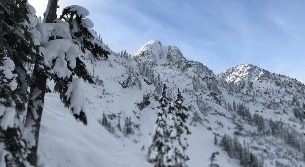
Mt Herman, Stoneman Couloir
brainbrian
April 13, 2016
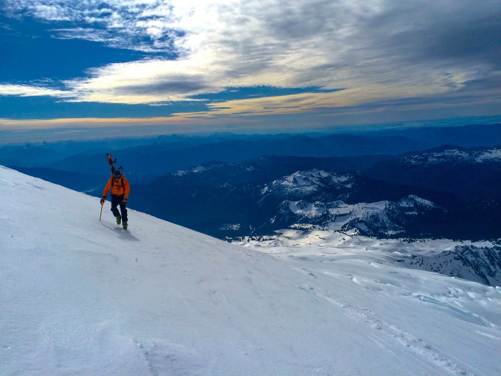
Mount Baker, Easton Glacier Route
brainbrian
November 22, 2015
Heliotrope Ridge, Mt. Baker
brainbrian
November 18, 2015
2015 Mt. Baker Backcountry Opener
brainbrian
February 23, 2015
Coleman-Deming, Mt. Baker
brainbrian
June 23, 2014
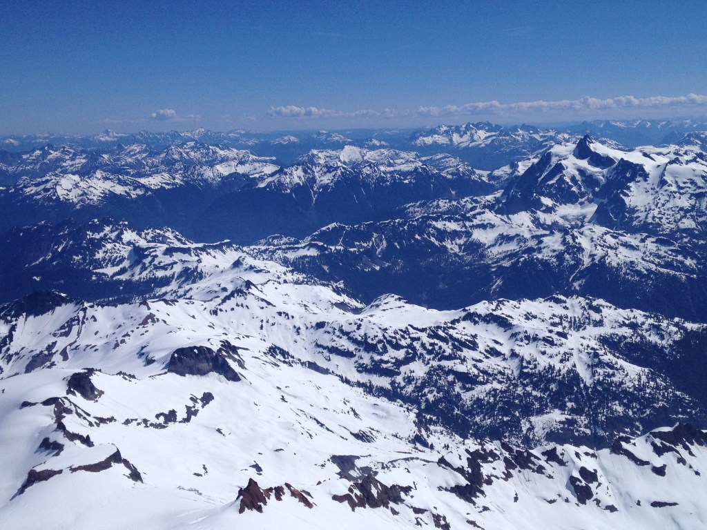
Easton Glacier, Mt. Baker
brainbrian
Categories
Reviews
.
News
.
Guides
.
Deals
.
Videos
.
Reader Poll
.
Features
.
Staff Picks
.
Game Culture
.
Podcast
.
Subscribe
Subscribed
Peak of the Week
Sign me up
Already have a WordPress.com account?
Log in now.
Peak of the Week
Subscribe
Subscribed
Sign up
Log in
Report this content
View site in Reader
Manage subscriptions
Collapse this bar