Skip to content
Facebook
Instagram
TikTok
Mastodon
YouTube
X
Twitch
Search
Touring
Climbing
Movies
Web Cams
Instagram
About
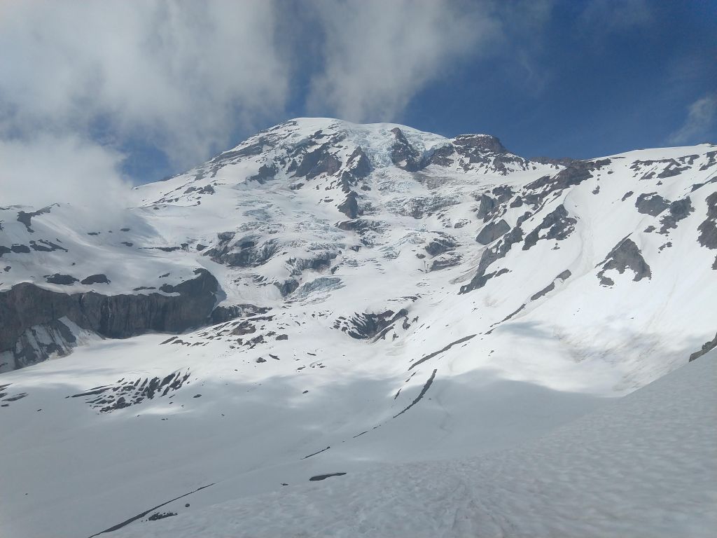
Mt. Rainier
April 22, 2022
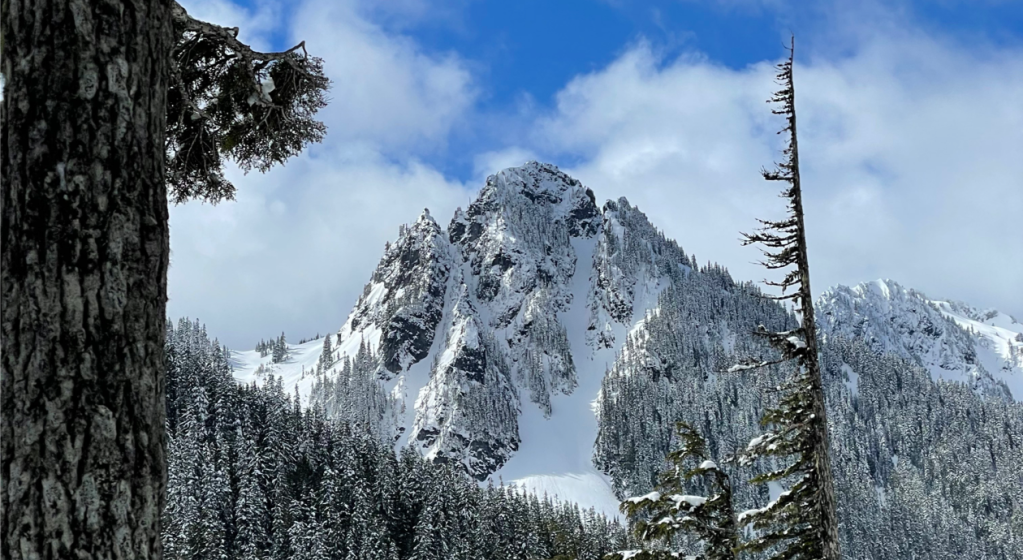
Lane Peak, Zipper Couloir
brainbrian
June 9, 2019
Mt Rainier, Fuhrer Finger
brainbrian
May 23, 2017
Mt Rainier, Success Couloir
brainbrian
May 3, 2016
Mt. Rainier, Fuhrer Finger
brainbrian
April 19, 2016
Little Tahoma, Whitman Glacier from Paradise
brainbrian
April 2, 2016
Tatoosh, Unicorn Peak
brainbrian
December 13, 2015
Edith Creek, Mt. Rainier National Park
brainbrian
November 9, 2015
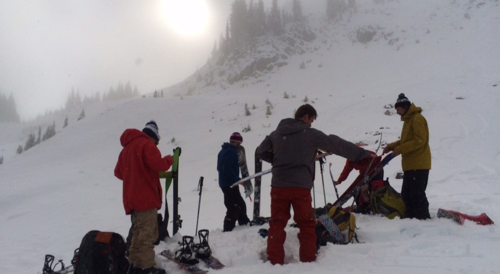
First Turns of the Season
brainbrian
June 16, 2015
Mt. Rainier, Disappointment Cleaver
brainbrian
May 10, 2015
Mt. Ruth, Mt. Rainier
brainbrian
1
2
Next Page
Categories
Reviews
.
News
.
Guides
.
Deals
.
Videos
.
Reader Poll
.
Features
.
Staff Picks
.
Game Culture
.
Podcast
.
Subscribe
Subscribed
Peak of the Week
Sign me up
Already have a WordPress.com account?
Log in now.
Peak of the Week
Subscribe
Subscribed
Sign up
Log in
Report this content
View site in Reader
Manage subscriptions
Collapse this bar