Facebook
Instagram
TikTok
Mastodon
YouTube
X
Twitch
Search
Touring
Climbing
Movies
Web Cams
Instagram
About
Climbing
April 22, 2022
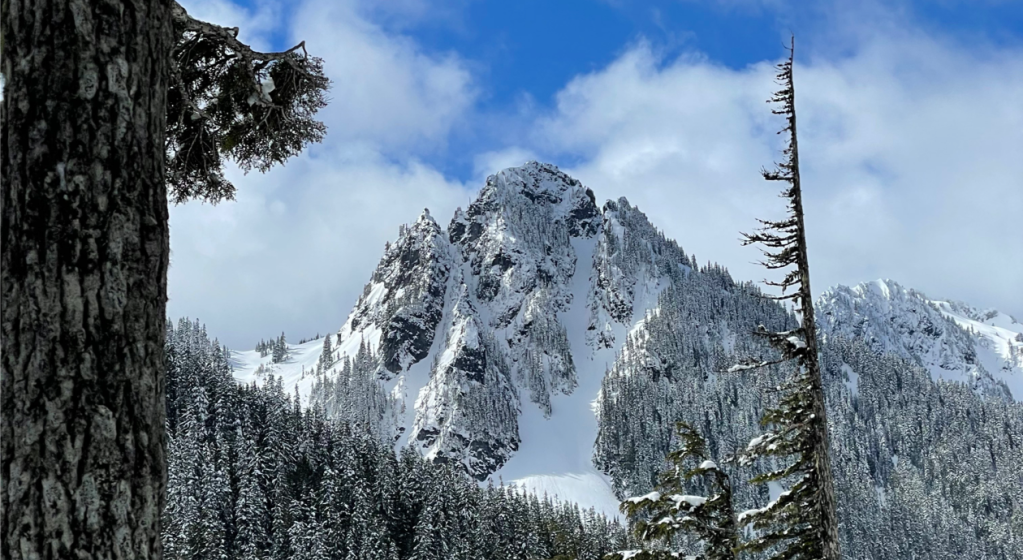
Lane Peak, Zipper Couloir
brainbrian
July 31, 2021
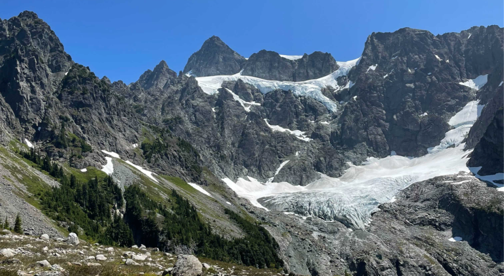
Mt Shuksan, Fisher Chimneys
brainbrian
September 2, 2020
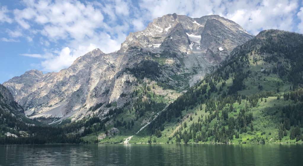
Mt Moran, CMC Route
brainbrian
August 26, 2020
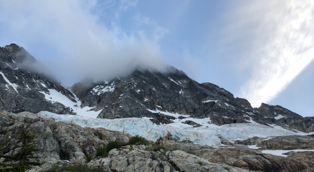
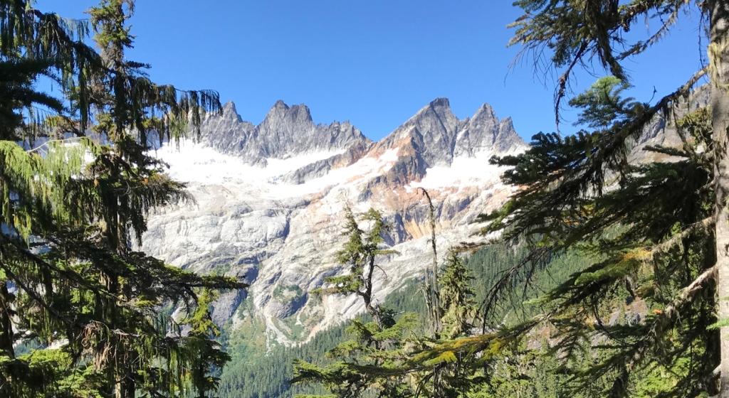
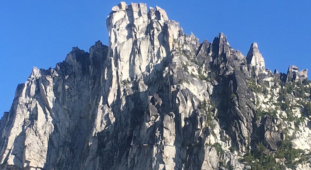
Mt Goode, Northeast Buttress
brainbrian
January 22, 2019
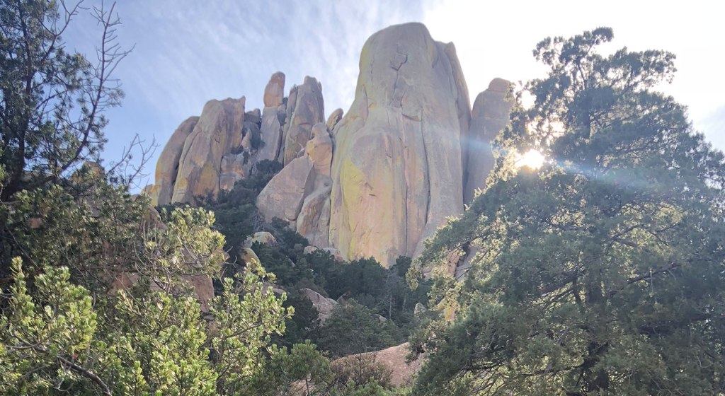
Cochise Stronghold, Endgame
brainbrian
October 16, 2018
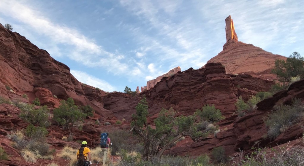
Castleton Tower, North Chimney
brainbrian
September 9, 2018
April Fools Tower, Snow Creek Wall
brainbrian
May 25, 2018
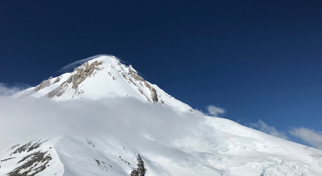
Mt Hood, Cooper Spur
brainbrian
September 14, 2017
Inspiration Peak, East Ridge
brainbrian
July 24, 2017
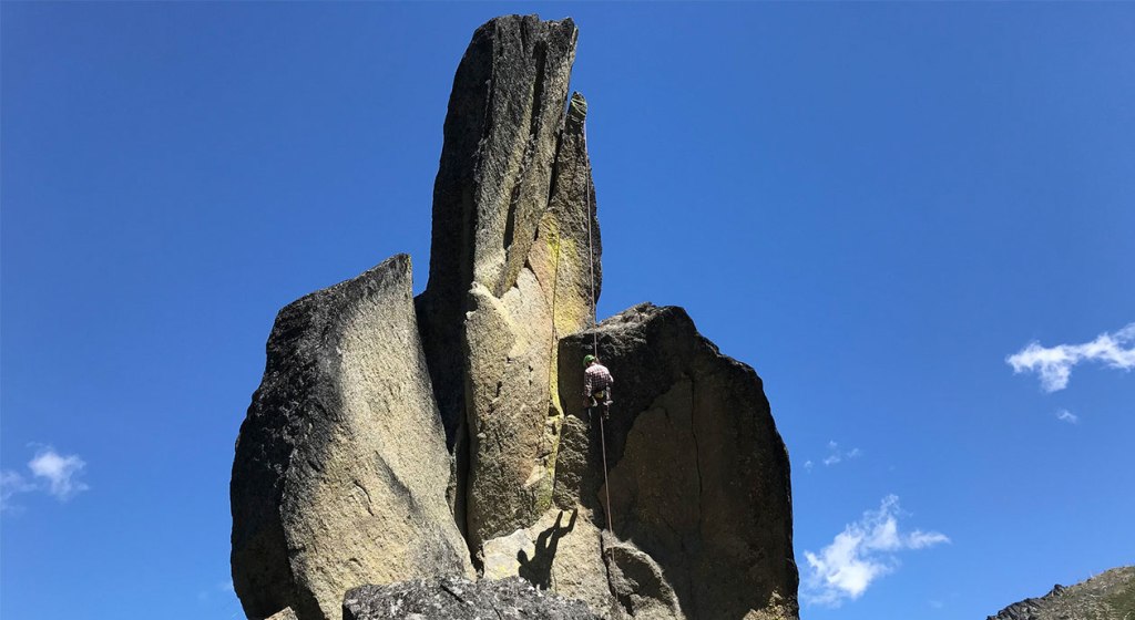
Prusik Peak, South Face, Beckey-Davis
brainbrian
1
2
3
Next Page
Categories
Reviews
.
News
.
Guides
.
Deals
.
Videos
.
Reader Poll
.
Features
.
Staff Picks
.
Game Culture
.
Podcast
.
Subscribe
Subscribed
Peak of the Week
Sign me up
Already have a WordPress.com account?
Log in now.
Peak of the Week
Edit Site
Subscribe
Subscribed
Sign up
Log in
Report this content
View site in Reader
Manage subscriptions
Collapse this bar